Geographic Information Systems (101)

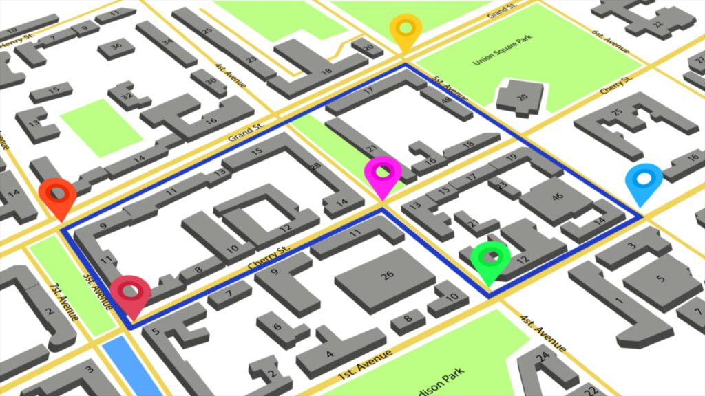
Welcome to Geographic Information Systems (101) (GIS). This Course is designed to give you an introduction to the basic concepts of GIS and how it might be used in water and wastewater industry. GIS is a system of hardware, spatial data, software, and people that enable users to solve spatial problems. Using GIS, you can manage your existing water and wastewater systems more efficiently. GIS will help find existing infrastructure, document legacy knowledge to future generations, and help plan upgrades and expansions to your system.
This course is to provide an understanding in GIS theory. The course will not teach you how to use GIS, but instead give an understanding of how it works, the components of GIS, and also demonstrate some ways GIS can be utilized in the water and wastewater industry.
The staff and trainers of LearnH2O are dedicated to your success! If you have questions about the material presented, have technical difficulties, or need other assistance, we are here to help. Assistance is available by calling LearnH2O help at (800) 653-7792 or contacting a dedicated team member on our help page.
